HOME
INDUSTRIES
Survey & Engineering
Geographic Information System
3D Scanning & Aerial Mapping
Hydrography
Global Correction Service
Intelligent Monitoring
AI Construction
Precision Agriculture
Indoor Positioning
NEWS & EVENTS
ABOUT
CONTACT US
HOME
INDUSTRIES
Survey & Engineering
Geographic Information System
3D Scanning & Aerial Mapping
Hydrography
Global Correction Service
Intelligent Monitoring
AI Construction
Precision Agriculture
Indoor Positioning
NEWS & EVENTS
ABOUT
CONTACT US
HOME
>
INDUSTRIES
Cadastral
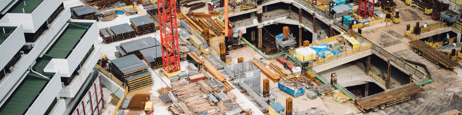
Each centimeter matters. Photos and videos matters. These raw data from diversified usage of the lands need to be recorded, to precisely help the GIS data analyzing and planning, monitoring, etc.
SHARE:
HOME
INDUSTRIES
NEWS & EVENTS
ABOUT
CONTACT US
© 2021,Hi-Target International Group Ltd.